|
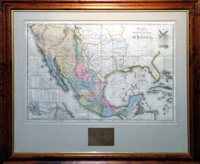
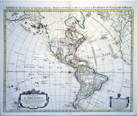
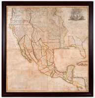
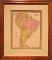
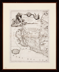
The Old Americas Maps The first map on which America appears (1500) The first known map in which America is represented is that drawn up by the Spanish cartographer Juan de la Cosa around 1500. According to the chronicles, De la Cosa would have taken part in two of Columbus' expeditions to America. Some even say that he was the owner of Santa Maria. Although according to some sources it would only have been the cartographer of the second of those trips. The importance of the letter lies, among other aspects, in being the first conserved that includes the representation of America. In this way, it collects the discoveries made by Christopher Columbus in his three trips. They are joined by Ojeda, Vespucci, and Caboto. From the cartographic point of view, the origin of this map is a nautical chart. The Antilles have a clear layout and the information of the coasts of Africa comes from Portuguese sources. For its part, the information of Europe is taken from the portolans. What Asia is shown comes from the trips of Marco Polo and other Italian travelers. The coasts are perfectly defined. All coastal accidents, such as bays, capes or gulfs, are drawn. In addition, the line of the littoral is plagued of place-names corresponding to the cities and ports. They are written in black or red, reserving the latter color to facilitate the location of the most important places. Some historians doubt the authenticity of the map, which is preserved in the Naval Museum of Madrid. In any case, this map is the best example of the late fifteenth and early sixteenth centuries. It represents the state of the discoveries at that time, which makes it the most studied map of this era. The first map in which explicit reference is made to America (1507) The first map that makes direct reference to America in its nomenclature is the 'Universalis Cosmographia Secundum Ptholomei Traditionem and Et Americi Vespucci'. It is a geographical Letter made by Martin Waldseemüller and published in 1507. In it, the image of America is limited to a narrow and elongated strip, but with birds, rivers and a lot of "terra incágnita". Only one copy of the map that was bought by the Library of the United States Congress for 10 million dollars has survived. Map of America by Sebastian Munster (1561) Sebastian Münster, one of the most prolific geographers of the sixteenth century, was the first to publish maps separated by continents. They originally appeared in an edition of Ptolemy's Geographia of 1540 in Basel. Although in this map of 1561 is spoken of the "New World", "Novus Orbis", the denomination of America is included again. This perpetuates the use of this name for the continent. A name that had already been used, as we have seen, by Martin Waldseemüller.
|